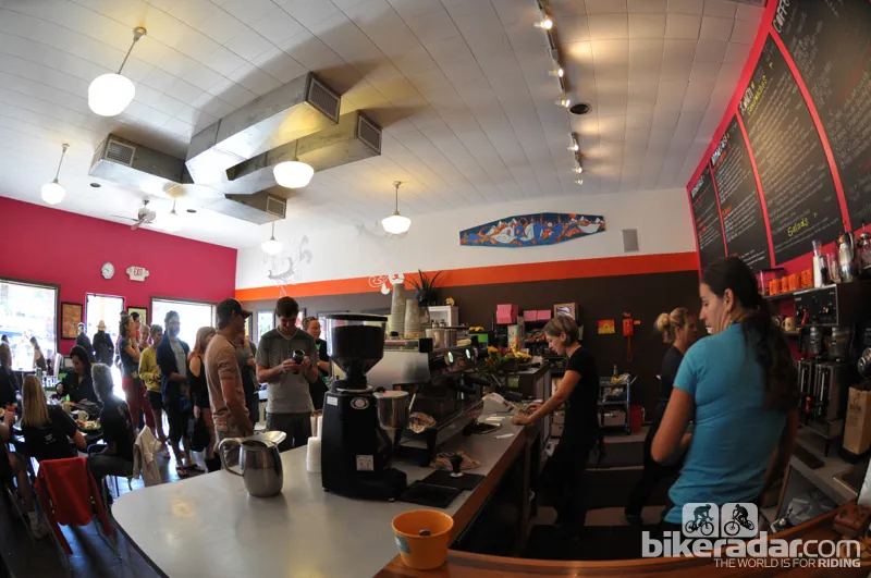
If Moab is so well known for mountain biking, then why do some riders come back talking about the great Mexican food?
We are accustomed to hearing tall tales of riding exposed slivers of redrock-embedded singletrack, contouring along the upper rim of sheer cliffs. But what is all this talk about an enchilada?
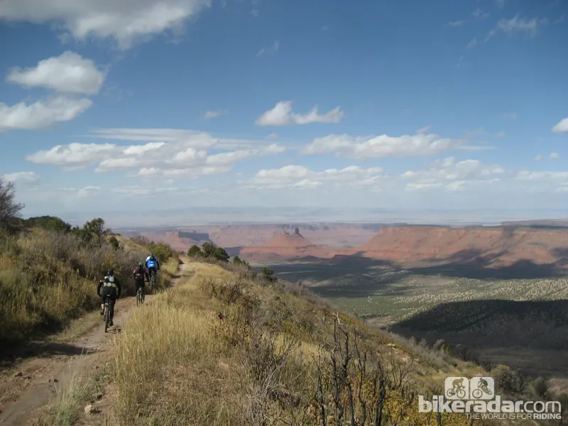
The Whole Enchilada is a massive series of trails that starts at the 11,200ft Burro Pass in the La Sal mountain range, and drops some 7,000ft to the Colorado River below. In between, as its name suggests, there is a lot of tasty trail rolled up and baked together into one fantastic plate of mountain bike goodness. What starts in high alpine drops through fir and aspen trees, and takes you through rock gardens, root sections, around a lake and across technical climbs before connecting you to the famous Porcupine Rim and Lower Kokopelli Rim trails.
If you go, bring a big appetite — and some fitness.
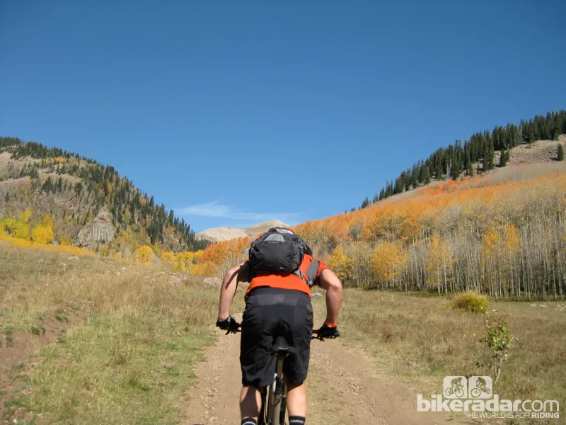
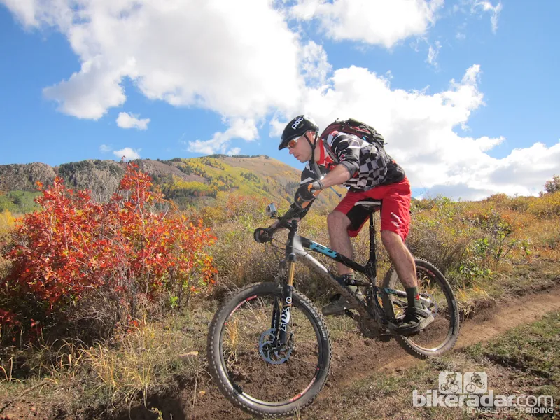
Fall is beautiful in the La Sal Mountains at the top of The Whole Enchilada
Ride Details
Like many rides, the Whole Enchilada suffers slightly from hype. Yes, you get 7,000 feet of descending. But short of being heli-dropped onto the very top of Burro Pass, and being sequentially plucked up and dropped off several more times along the 26.5-mile chain of trails, you will climb to earn more than a few of the Enchilada’s turns.
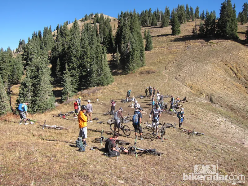
A typical option is for riders to shuttle up to the oxygen-stingy Geyser Pass at 10,200ft, where the unprepared are slapped across the face with both a steep 1,000-foot climb, and temperatures that generally average half of the temperatures they left down in Moab an hour before. Rain, sleet and snow are all possible up there.
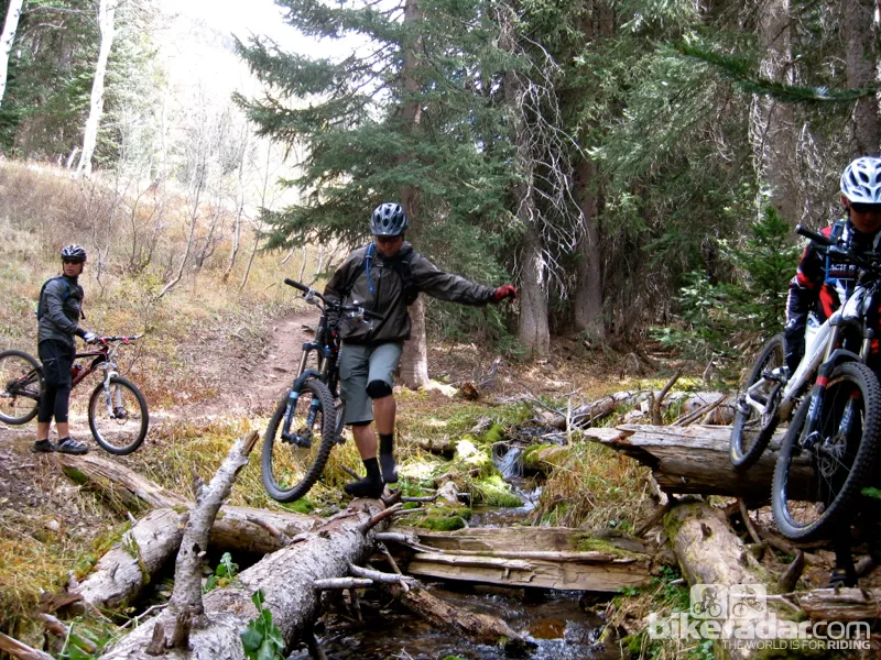
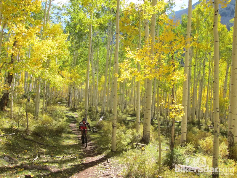
Once at the top of Burro Pass, the trail sometimes referred to as Burro Down drops quickly down the backside and into high alpine forest, switchbacking multiple times through fir trees and crossing frigid creeks between little rock gardens and exposed root sections. Momentum slows as the fir trees yield to a huge grove of aspens, and eventually riders find themselves climbing up and around Warner Lake to a campground.
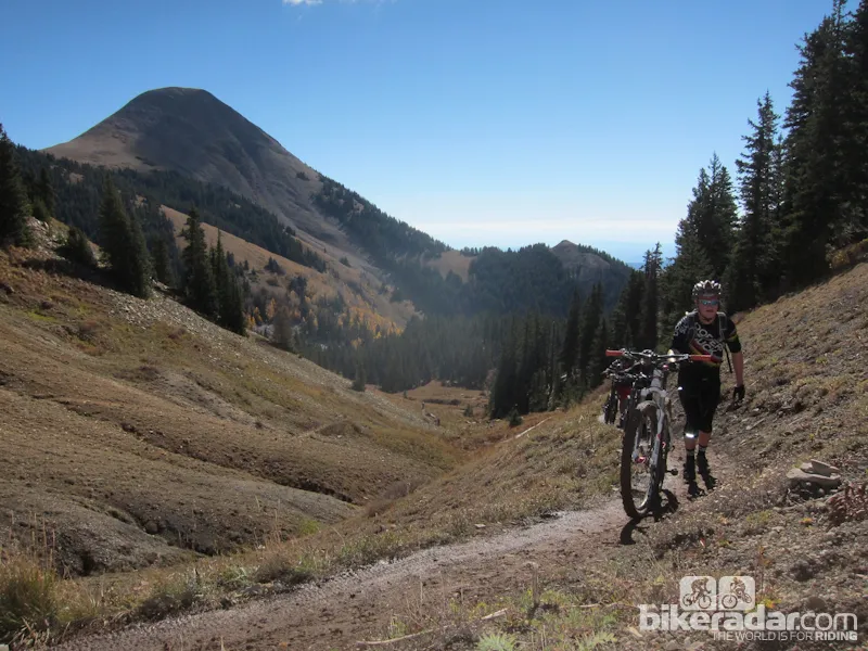
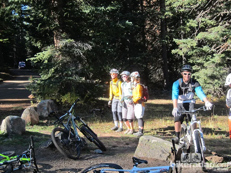
En route to Burro Pass, the steep sections — and thin air — may force some riders to walk
Between the campground and the top of a mesa that hosts phenomenal views and the Hazard County trailhead is a grunt of a slightly technical little climb. By typical mountain bike standards, the climb isn’t anything to write home about. But after a sustained climb to get to its base, and having heard from all your friends that “it’s 7,000 feet of descending!” for an entire year from the trip they took without you last year, it’s a grunt that will be remembered.
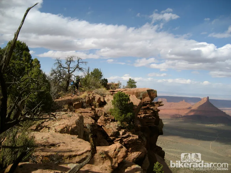
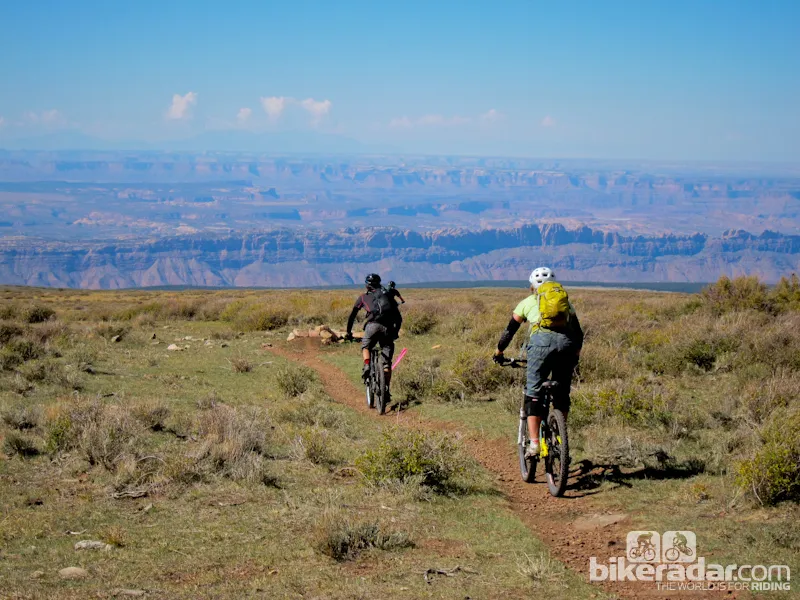
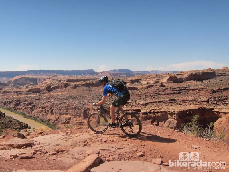
Even the locals stop to take in the views at the Hazard County trailhead at a treeless mesa; behind you sit the La Sal mountains that you started in only an hour or so before, and in front of you lies singletrack that fades seamlessly into the red, graduated lines of Utah canyon-laden desert.
Hazard County is one of the fastest, flowiest trail segments in the Whole Enchilada. It loses its speed towards the end with progressively tighter and twistier singletrack that suddenly throws in rock gardens just around the shrub-blinded bends. But as a word of experience, the faster Hazard is ridden, the easier it becomes.
Heading towards the drop into Hazard
Hazard essentially turns into the Kokopelli Trail at Sand Flats road (make note as this is a great bail-out spot for those bad days nobody likes to talk about), and gets fast and open for a couple of miles on jeep road. Sometimes this section is in great shape, but more often than not, there will be erosion-trenched trail waiting to grab an unsuspecting wheel on the blind backside of some of the many waterbars.
Kokopelli ends with another climb up to the top of UPS (Upper Porcupine Singletrack), which is a massive variation in trail conditions compared to everything that Whole Enchilada has been thus far. Consisting of more typical Moab riding, UPS is rock-laden, and flirts with a canyon rim edge that offers amazing views. Momentum is lost as the elevation flattens out, with exception of steep, technical little ups and downs. Included in UPS is the famous Notch, which the vast majority of riders either walk or take the slightly easier, alternate route around. Either direction will drop riders into a little valley that requires climbing out of for a few minutes, which is another spot you’ll hear your friends’ voice inside your head saying “it’s 7,000-feet of descending!!”
Kokopelli trail: The views come standard
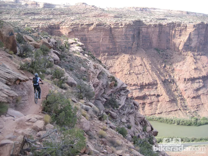
UPS melts into LPS (Lower Porcupine Singletrack) flawlessly, but is still a different segment of trail by name and location. Here, more rocky, technical trail flirts with the canyon’s rim.
LPS drops down to the rough jeep road that is Porcupine Rim, which is arguably the most popular ride in Moab, second to Slick Rock, of course. Porcupine Rim climbs, flattens out, climbs, descends, and climbs its way for miles. And when the trail does descend, speed is gauged more on how much abuse you and/or your bike can take over the relentless rock sections instead of skill level. This is where riders who got in over their head, but opted not to duck out on Sand Flats road, fall to pieces. But it’s also one of the more fun sections of the ride as it allows multiple line options for personal enjoyment, to cut in front of your friends, or to get around glazed over riders who are at this point yelling “I thought this was all downhill!!!” at the sky.
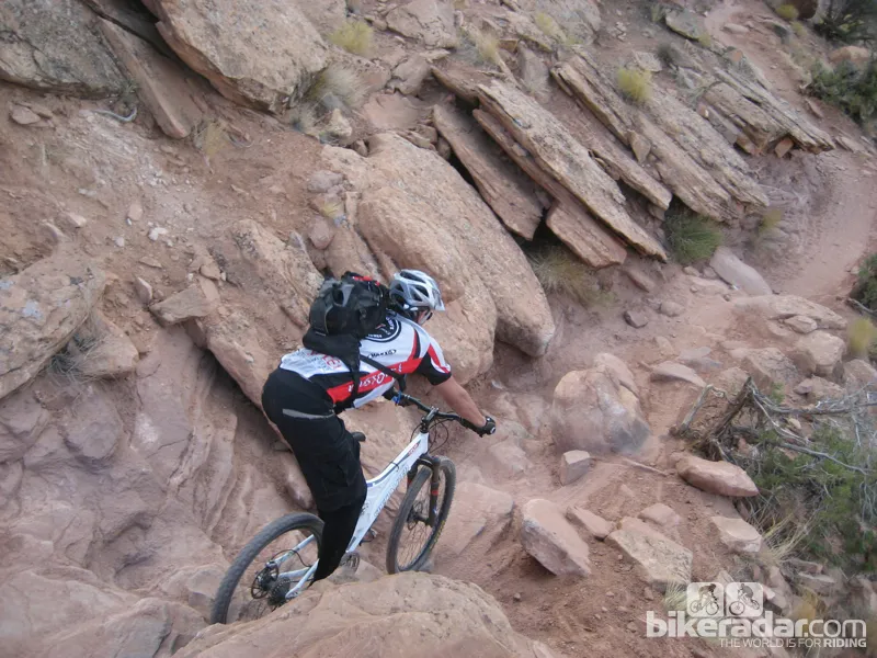
The last section of Porcupine Rim is entered via a little open gate, labeled “singletrack,” and starts the last few miles of trail before reaching highway 128. For good-to-great bike handlers, the sign may as well read “Your Happy Place,” as this section is riddled with ledge-exposed, technical rock sections that offer all kinds of gratification for making it through cleanly, or finding more impressive lines than your friends.
The lower section of Porcupine Rim comes a few hours into your ride
For riders who are already a bit shell-shocked from the high alpine switchbacks, the high speeds of Kokopelli, the abundance of steep climbs that weren’t expected, and the constant bombardment of technical rock features throughout UPS and LPS, the sign is the point in which it’s time to really put it in survival mode, instead of assuming it will be an easy cool-down cruise to the road. As a whole, there isn’t anything particularly harder about this section of trail when compared to the rest of the ride. It’s more that this section is somewhat relentless in its technical sections with consequences.
Lower Kokopelli Rim trail funnels into an underpass and ends in a campground. From that point, it’s about 4 miles of road and bike path along the Colorado River to town, or some shuttle services will pick riders up in a parking lot just outside the campground. For riders who are out of water, but still want to ride back to town, there is a natural spring that comes out of the rock canyon wall about 2 miles down the road on the left, before getting to highway 191. It’s not marked, but there’s almost always a few people filling up water containers.
Ride Tips
The best time to ride the Whole Enchilada is in the fall. Otherwise, Burro Pass and possibly Hazard County will be snowed in during winter and spring, and the lower sections of trail will be miserably hot during the summer. In addition to the heat, the creek crossings may be more like river crossings in the summer, too, depending on snowpack.
It's often cold up top, and sunlight and huddling together only do so much; pack well
Don’t use the Moab weather forecast to pack for the ride. Assume that it will literally be half of Moab’s temperature on top of Burro Pass. (90 degrees in town = 45 degrees up top.) And, while it can be sunny and clear in town, it can be white-out, blizzard conditions up in the La Sals, so pack accordingly.
The Whole Enchilada is the last ride to worry about saving weight, especially with tires. Go tubeless, run high-volume tires with reinforced sidewalls if not reinforced casings, and bring a few tubes just in case.
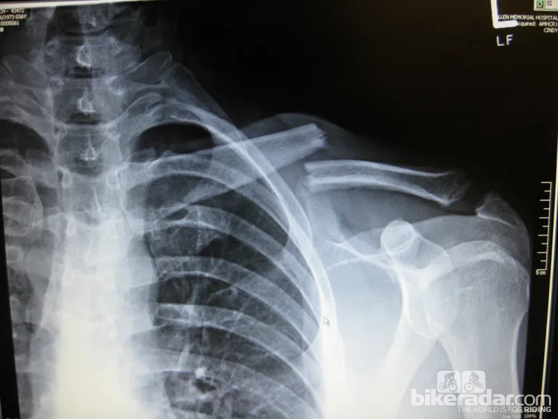
Ride within your skill level. It's a long walk out
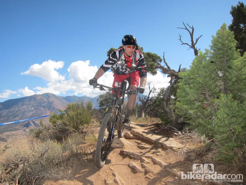
While everything from fully rigid to downhill rigs will be seen on the trail, the best recommendation is a 6in travel bike with a dropper post that’s set up to climb reasonably well.
Bring water. It’s amazing how many people we ran into were begging for it. Keep in mind that the shuttle is almost an hour to the top, and the ride itself can take 5 hours with less-experienced riders, so plan for your water to last 6 hours.
The Scene
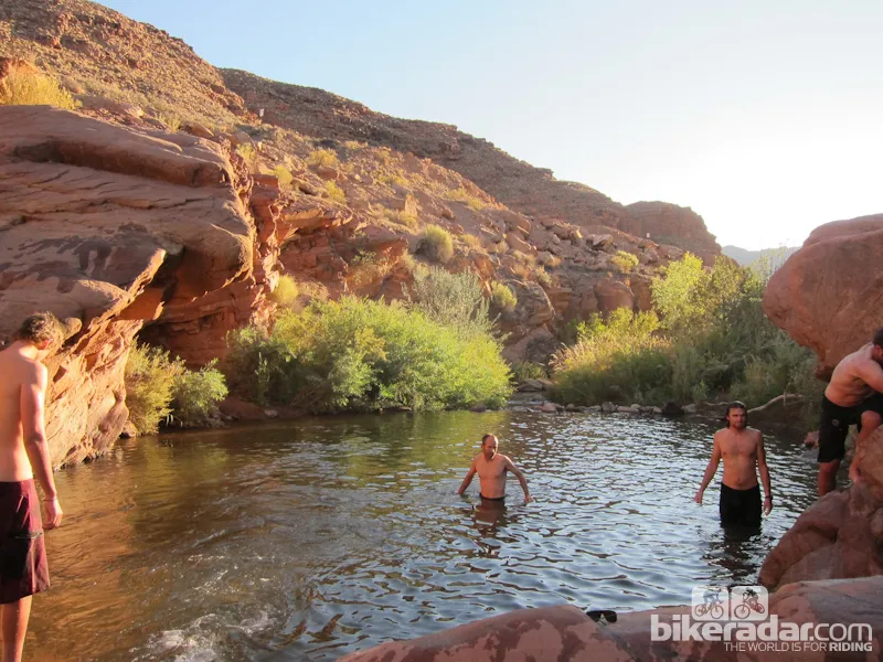
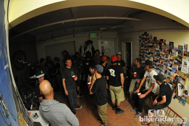
Moab is definitely more fun by day. There are enough places to grab decent food, random after-hour bike shop parties, and a couple of venues that host music on occasion. But you’re probably never going to hear anyone out on the trail say “Hey! It’s Friday night! Let’s save a little in the tank and take the easy way back.” The best bang for the Moab buck is to spend as much time away from the town itself, exploring the vast majority of trails, rock formations, and swimming holes.
Don't come to Moab if you don't like being outside
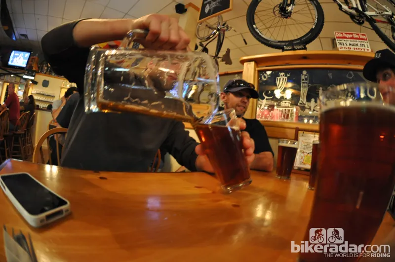
A note on alcoholic beverages and Utah state law; State-run liquor stores are closed on Sunday, and are the only place to get the hard stuff. Any beer that comes out of a bar’s tap, or stocked at the grocery store, is 3.2% alcohol. Moab Brewery does have beer with higher alcohol content, but it costs $1 more, and has to be brought out in a can. And while we’re no authority on the matter, it appears that it is technically illegal to bring your own alcohol into Utah.
While the trails hit 20%, the beer is only 3.2% in Utah
Search for Mountain Bike Holidays in Utah - £50 cashback if you book through BikeRadar