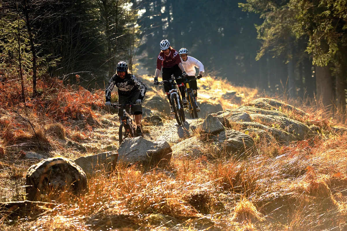
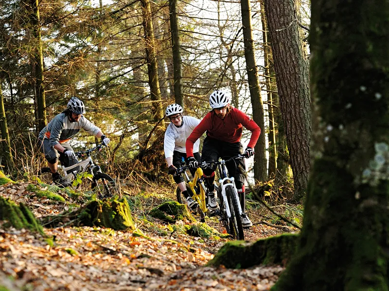
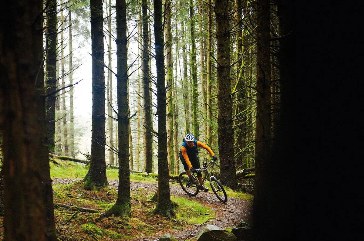
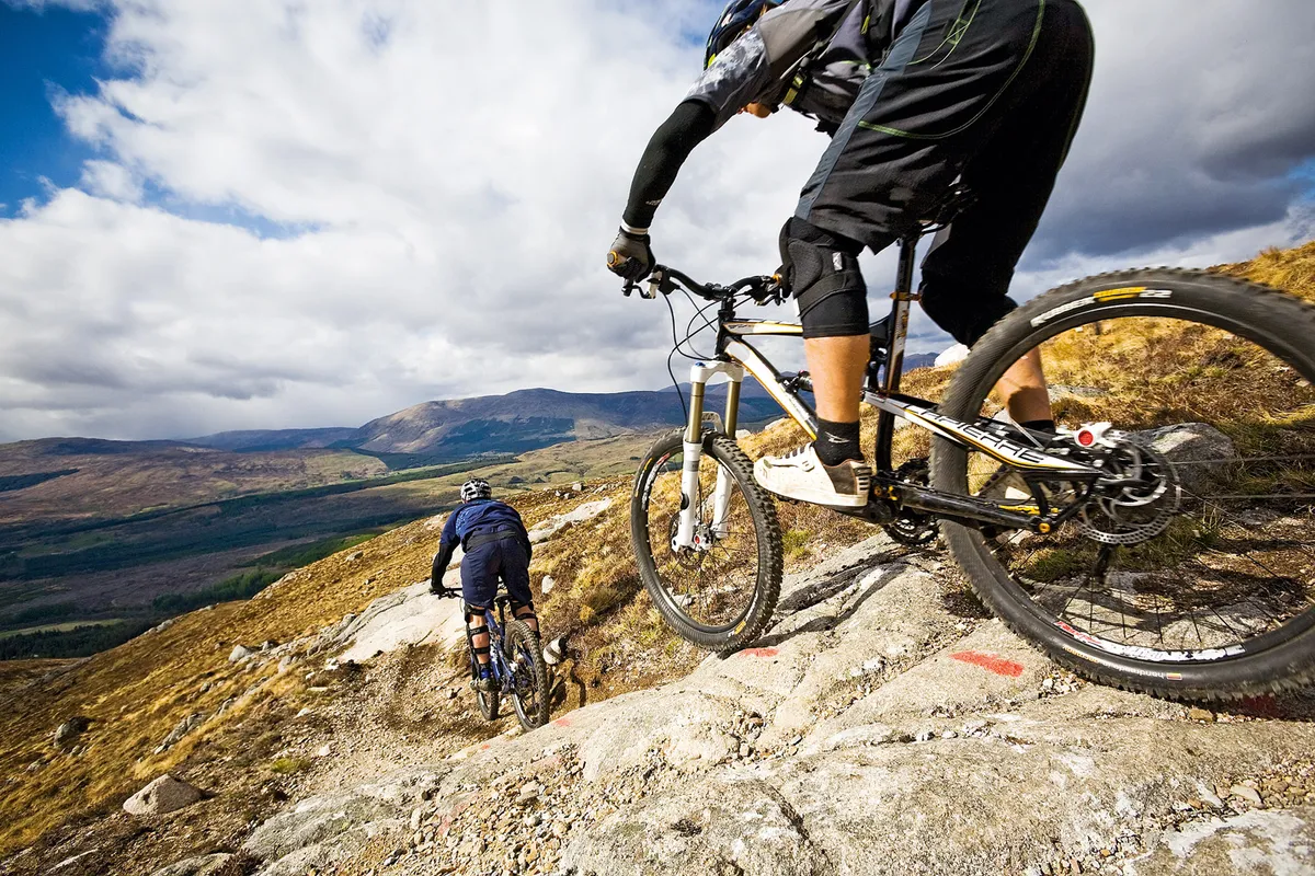
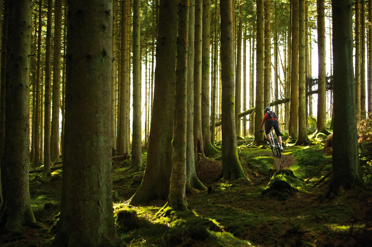
Trail centres are on the up! Not only in their popularity but also, it seems, in the level of investment going into them. In fact, as we’ve compiled this guide for 2014, it’s been exciting to see how many new trails and facilities – and in some cases actual full-on trail centres themselves – have come into being.
It’s not difficult to see why we all love them so much. Great trails that are ridable whatever the weather, easy access throughout the UK and a good range of riding for different levels of ability. Not to mention the excellent facilities for bike maintenance and a nice bit of cake at the end of a long ride!
Through this guide we bring you all the info you need on what we consider to be Scotland's best trail centres. So whether you’re a seasoned pro or are just starting out in the wonderful world of mountain biking, you can discover some of the best places to go and ride your bike. Happy trails!
Ae Forest
About the centre
Ae has been a popular downhill venue for several years. In 2005, the red-graded Ae Line was added to the area, with a green route following shortly afterwards. The forest is now home to routes for all ability levels, from families to downhillers.
The trails
Larch View – blue
- Distance: 13.5km
- Time: 1.5-2.5hrs
- Technicality: 2/5
The blue route follows the Ae Valley family trail but extends to take in more of the surrounding forest and returning down the valley, running next to the river and taking in some easy wooden boardwalk. About a third of the route is singletrack and the rest is forest road.
Ae Line – red
- Distance: 24km
- Time: 1.5-3hrs
- Technicality: 3/5
The Ae Line is a fast, aggressive ride. It’s definitely a cross-country trail and you can expect climbing. There are a couple of new sections for 2014 – a fast flowing descent and a climb packed with 22 switchbacks that misses out a big stretch of forest road. The grin-inducing final descent, The Omega Man, is filled with jumps and drops.
The Shredder – orange
- Distance: 1km
- Time: 4-5 mins
- Technicality: 4/5
The Shredder is a downhill run for beginners and gives a good taster of the discipline with fast berms, open corners, tabletops and rocks and off-camber sections.
Ae Downhill – orange
- Distance: 1.6km
- Time: 2.3 mins pro, 5 mins non-pro
- Technicality: 5/5
The Ae Downhill course has played host to a number of races over the years. The trail combines technical root and dirt sections with huge manmade features, including berms, tabletops and triples.
How to get there
Follow the A701 north out of Dumfries towards Moffat. Turn left after 10 miles onto a minor road, signposted Forest of Ae. The centre is on your right, just after Ae village. Grid ref: NX984894, sat nav: DG1 1QB
Facilities
Bike hire, bike shop, pay & display parking, showers, toilets, uplift service /
More information
www.7stanesmountainbiking.com / www.upliftscotland.com / www.eat-sleep-ride.com
Dalbeattie
About the centre
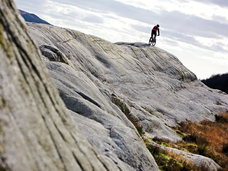
Dalbeattie has a good range of trails, including one of the most famous features at any trail centre – the Slab, a 14m high lump of granite that forms one of the Hardrock Trail’s descents.
The trails
Ironhash Trail – green
- Distance: 11.5km
- Time: 1.5-2hrs
- Technicality: 2/5
The Ironhash Trail is just over 11km and is a fairly flat ride that’s good for inexperienced riders and families. The green trail mostly follows forest roads, though it does have two short singletrack sections too.
Moyle Hill Trail – blue
- Distance: 14km
- Time: 2-3hrs
- Technicality: 2/5
The Moyle Hill Trail is a good choice if you want to cover a reasonable distance and take in some views without any real technical difficulty. If you want singletrack, pick the Hardrock instead.
Hardrock Trail – red
- Distance: 27km
- Time: 2-4hrs
- Technicality: 3/5
The Hardrock Trail is characterised by narrow singletrack and lumps of granite across the trail, so you have to watch your lines. The trail winds along rough singletrack to the famous Slab. It’s a great ride for the technically adept and has optional black sections.
How to get there
From Dumfries, head south-west on the A711 for 13 miles. Once you’ve arrived in Dalbeattie, follow the A710. The car park is on your left a short way south of the town. Grid ref: NX 837590, sat nav: DG5 4QU
Facilities
Bike wash, pay & display parking, toilets
More information
Drumlanrig
About the centre
There are trails here for everybody, from tarmac loops and easy off-road tracks to singletrack and rooty horror shows.
The trails
Copy Cat – blue
- Distance: 9km
- Time: 30mins-1hr
- Technicality: 2/5
Copy Cat uses a mixture of forest roads and singletrack. It shadows the second half of The Old School, so you can nip off the blue trail and on to the red for a few more tight corners.
The Old School – red
- Distance: 20km
- Time: 1.5-2.5hrs
- Technicality: 3/5
Natural-feeling singletrack tucks and turns between the trees, giving The Old School a lovely flowing feel. Pick your lines carefully to keep momentum – there really are roots everywhere!
Magic 8 – black
- Distance: 8km (extensions to red)
- Time: 30mins
- Technicality: 4/5
The Magic 8 trail comprises two black-rated extensions to the red route. Both have steep climbs and descents and some interesting features to ride, and are hard work but fun.
How to get there
From Dumfries, take the A76 north towards Kilmarnock for 17 miles. After passing through Thornhill, Drumlanrig Castle is signposted. Turn left onto minor roads and follow the signs.Grid ref: NX 852993, sat nav: DG3 4AQ
Facilities
Bike hire, bike shop, bike wash, café and visitor centre, parking, place of interest, toilets, showers
More information
Fort William
About the centre
Fort William has achieved international fame as a Mountain Bike World Cup venue, and all three race courses – downhill, cross-country and 4X – are open to the public. For 2014 the three Witch’s Trails XC routes – Broomstick Blue, World Champs and 10 Under the Ben – are joined by new blue and red descents accessed by a 2km forest road climb. There’s also the gondola-accessed Nevis Red descent and the fearsome Downhill World Cup track if you fancy more of a challenge.
The trails
Broomstick Blue – blue
- Distance: 19km
- Time: 1.5-3hrs
- Technicality: 2/5
A good trail to start on, with plenty of flowing singletrack.
Blue Down – blue
- Distance: 3.5km
- Time: 30mins
- Technicality: 3/5
This new descent begins with a fast top section, followed by 80m of bermed boardwalk and plenty of twists and turns.
World Champs – red
- Distance: 8.5km
- Time: 1-2hrs
- Technicality: 3/5
The World Champs course follows the 'one climb, one descent' format, but both are longer and steeper than usual.
10 Under The Ben – red
- Distance: 16.5km
- Time: 1-2hrs
- Technicality: 4/5
The first half of 10 Under the Ben is fine for less advanced riders, but even pros have been caught out by the Nessie section!
Nevis Red – red
- Distance: 5.5km
- Time: 30mins-1hr
- Technicality: 4/5
The Nevis Red boasts 550m of vertical descent on a variety of technical trail surfaces. Accessible only by gondola, it has seasonal opening, so it's wise to check ahead.
How to get there
Head north from Fort William on the A82 towards Inverness. The Nevis Range is clearly signposted on your right after three miles. Grid ref: NN 171774, sat nav: PH33 6SW
Facilities
Bike hire, bike wash, café, parking, toilets, showers, gondola uplift /
More information
bike.nevisrange.co.uk / www.ridefortwilliam.co.uk
Glenlivet
About the centre
Nestled in the Cairngorms National Park, Glenlivet has two new purpose-built trails that should appeal to beginners and experienced riders alike, with plenty of flow and some spectacular views. Add to that some amazing off-piste riding and the chance to sample a dram or two of the local whiskies, and it’s well worth a visit.
The trails
Blue Trail
- Distance: 9km
- Time: 1-1.5hrs
- Technicality: 2/5
This undulating trail is ideal for novice riders but great fun for faster, more experienced mountain bikers too.
Red Trail
- Distance: 22km
- Time: 2-3hrs
- Technicality: 3/5
This 22km route takes in the Blue Trail too. The monster climb is worth it for the flat-out sections coming back down.
Further riding...
The Glenlivet Estate has six waymarked cycle routes that use a combination of tracks and roads. Ranging from 12km to 28km, they can be linked together to form longer rides.
How to get there
The Glenlivet trails are located off the B9136, 4.5 miles from Tomintoul. Grid ref: NJ 158227, sat nav: AB37 9AR
Facilities
Bike hire, bike wash, parking, toilets, cafe, changing rooms
More information
Glentress
About the centre
Glentress is Scotland’s biggest and best-known trail centre. It’s home to 73km of trails, each one enjoyable in different ways, and there’s something for everyone from beginners to freeride fans.
The trails
Green routes
- Distance: 3.5 4.5km
- Time: 30mins-1hr
- Technicality: 2/5
The two green routes both feature smooth singletrack that drops, climbs and weaves through the trees. There's also a Skills Area loop to practise your technique on.
Blue route
- Distance: 8-16km
- Time: 1-2.5hrs
- Technicality: 3/5
The blue route is characterised by flowing singletrack, sweeping corners and jumps that encourage you to wind up the speed. It's made up of two loops, the lower and the upper, which are both 8km long.
Red route
- Distance: 18km
- Time: 1.5-3hrs
- Technicality: 4/5
Home of the Spooky Woods descent, this is one of the most enjoyable trails around. It’s not tight or twisty, it’s all about speed. There are log skinnes and rock sections too. A true classic trail!
Black route
- Distance: 30km
- Time: 2.5-5hrs
- Technicality: 4/5
A 30km route with 24km of superb, hard singletrack. There are rocky climbs and switchback descents galore, and some lovely swooping sections of trail.
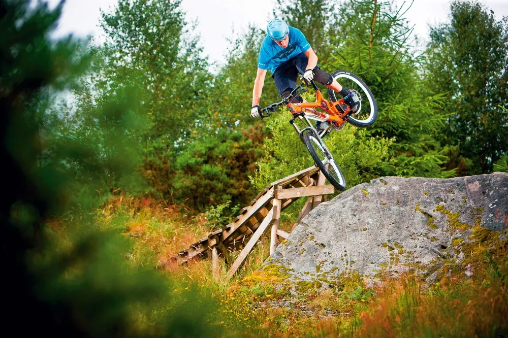
Freeride park – orange
The freeride park is ideal for riders looking to push their skills, style it up or learn tricks. You'll find multiple jump lines, wallrides and North Shore woodwork.
How to get there
From Edinburgh, get on the ring road and head south on the A703 or A701 towards Peebles. After the two roads merge and separate, take the A703 to Peebles, then turn east on the A72. The trails are on the left two miles outside town. Grid ref: NT 284397, sat nav: EH45 8NB
Facilities
Bike hire, bike shop, café, pay & display parking, showers, toilets
More information
Innerleithen
About the centre
Innerleithen is a venue for experienced riders. It’s also a popular DH centre, with a regular uplift service (www.upliftscotland.com).
The trails
Innerleithen XC – blue
- Distance: 18km
- Time: 1.5-4hrs
- Technicality: 4/5
The cross-country route rewards confidence. Starting with a long climb, it winds up through the woods and on to rocky moorland. After the first singletrack descent, there’s the technical Plora Craig, which has singletrack that snakes rapidly through the trees and optional black-graded rock gardens. Last but not least is Caddon Bank – a fast and steep section with berms, big drops and rows of doubles.
Downhill – orange
The main downhill tracks are the big, hard and fast Matador, the tight, natural Gold and Cresta runs, and Make or Brake, a high-speed track that includes plenty of manmade jumps, drops and berms.
How to get there
From Edinburgh, get on to the ring road and head south on the A703 or A701, following signs for Peebles. After the roads merge and separate, take the A703 towards Peebles. Once there, turn east on the A72, pass Glentress and continue along the main road to Innerleithen. Once in the village, turn right, following signs to Traquair. The car park is on your left at the T-junction. Grid ref: NT 336358, sat nav: EH44 6PW
Facilities
Pay & display parking, uplift service /
More information
www.7stanesmountainbiking.com / www.upliftscotland.com
Kirroughtree
About the centre
Set in Galloway Forest, Kirroughtree has carefully crafted, natural-feeling singletrack and awesome natural trail features, along with a compact skills area. There's a new visitor centre, bike shop and car park for 2014, accompanied by a new 500m linking section of blue graded singletrack.
The trails
Larg Hill – blue
- Distance: 10.5km
- Time: 1-2hrs
- Technicality: 2/5
Doon Hill Extension – blue
- Distance: 4km
- Time: 30mins
- Technicality: 2/5
The Larg Hill loop follows The Twister’s climb, but sticks to forest roads when the red moves onto singletrack. The extension adds singletrack and more forest roads.
The Twister – red
- Distance: 17.5km
- Time: 1-2hrs
- Technicality: 3/5
Bordering on perfection, The Twister blends narrow singletrack trails with tight corners and delicate rocky sections to create an effortlessly flowing whole.
Black Craigs – black
- Distance: 31.5km (inc red route)
- Time: 2.5-4hrs
- Technicality: 4/5
The dominating feature of Black Craigs is McMoab – a large outcrop of grippy granite, with arrows showing the best line across it. But that’s not the only thing that makes the trail so great. There are also steep slabs to climb and rocky drops to blast off or pick your way down.
How to get there
From Dumfries, take the A75 west towards Newton Stewart. Turn right onto a minor road about four miles short of Newton Stewart. Take the first left and follow the lane to the centre. Grid ref: NX 452646, sat nav: DG8 7BE
Facilities
Bike hire, bike shop, bike wash, café, pay & display parking, toilets, visitor centre (seasonal opening)
More information
Newcastleton
About the centre
Newcastleton is the 7stanes centre to head for if you’re after easy singletrack riding. None of the trails are technically difficult, making this is a perfect centre for those looking for a simple, fun day out. From June 2014, the old car park will be closed and the trails will start from the village square instead, adding an extra 5km.
The trails
Linns route – purple
- Distance: 8km
- Time: 1-2hrs
- Technicality: 1/5
The Linns circuit follows forest roads the whole way, but there are hills, so you'll get a good workout as you enjoy the scenery.
Caddrouns – blue
- Distance: 6km
- Time: 1-2hrs
- Technicality: 2/5
The Caddrouns loop uses forest roads to gain height, then winds back down the hill on wide, smooth singletrack. There are some berms and switchback turns, but the gradients are generally gentle.
Red Route
- Distance: 16km
- Time: 1.5-3hrs
- Technicality: 3/5
Kicking off with a snaking descent between trees, Newcastleton’s red route is not very technical, but that’s not to say it isn’t fun. It’s pleasant rather than adrenaline-fuelled, with singletrack and boardwalk sections, and finishes by taking in the Caddrouns blue route.
Further riding
Newcastleton also has a skills area with red and blue loops.
How to get there
From Carlisle, follow the A7 north towards Hawick. After about 13 miles (just before Canonbie), turn right onto the B6357 to Newcastleton village. Just before the village, turn right, crossing a bridge onto a minor road and follow this up the hill. The car park is on your right at the top. Grid ref: NY 482876, sat nav: TD9 0QD
Facilities
Parking, toilets, full facilities in Newcastleton village
More information
Mabie
About the centre
Mabie offers a unique riding experience, from the green and blue routes – which offer fine ways of exploring the forest – to the Kona Dark Side, the longest and hardest North Shore trail in the UK. The singletrack is flowing and magnificent, and there’s also a skills area.
The trails
Big Views Loop – green
- Distance: 8km
- Time: 1-2hrs
- Technicality: 2/5
There are a couple of good viewpoints on this loop, and the rest of it is buried in woodland. There are some short climbs and descents, but nothing tricky.
Light blue – Woodhead Loop
- Distance: 10km
- Time: 1-2hrs
- Technicality: 2/5
A longer version of the Big Views Loop, with more climbing and singletrack.
The Phoenix Trail – blue
- Distance: 17km
- Time: 1-2.5hrs
- Technicality: 3/5
The Phoenix Trail is an engaging ride – it hits singletrack early and winds up smooth tracks and boardwalk before shifting to natural, unsurfaced trails.
Dark Side – orange
- Distance: 4km
- Time: 1-3hrs
- Technicality: 4/5
This fiendishly difficult circuit is made up mostly of North Shore timber trails – and they’re among the most technical to be found in the UK. At its widest, the North Shore is 60cm, narrowing to 10cm in places, and reaching up to 1m above the ground. Expect off-camber step-ups, drop-offs, skinnies, gap jumps and rock features.
Skills area – orange
The skills area has differently graded options including a 300m freeride line with plenty of jump sections to build techniques on.
How to get there
From Dumfries, take the A710 south towards Dalbeattie. The trails are on your right after about four miles. Grid ref: NX 950709, sat nav: DG2 8HB
Facilities
Bike hire, bike shop, café, pay & display parking, toilets, youth hostel
More information
The information in this article is taken from Britain’s 50 Best Trail Centres, free with issue 303 (June 2014) of Mountain Biking UK magazine, available on Apple Newsstand and Zinio.