
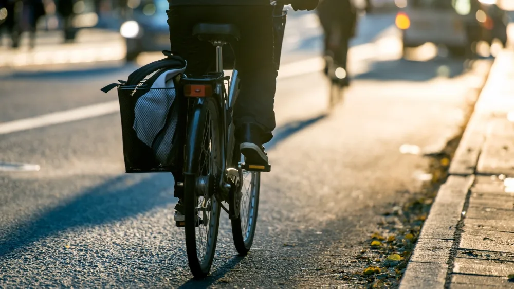
This looks like a very sensible idea: SafePath, a new app being developed in Arizona, aims to help cyclists cut road-related risks by alerting them to real-time hazards, and plotting alternative routes.
With lots of factors involved in helping cyclists stay safe – including individual behaviour, infrastructure, cultural attitudes and more – it can be difficult to pinpoint exactly whose responsibility it is to ensure vulnerable road users are protected.
The SafePath app, being developed by epidemiologist David Bui of the University of Arizona, aims to address one part of this knotty equation.
When in action, SafePath would estimate the risk of injury for any given route, suggest an alternative lower-risk route, and alert the user of any particular hazards or weather conditions that might increase the risk of injury. However, the app is still in the proposal stage, and although potentially useful, information on how it would identify 'riskier' routes is yet to be explained.
With useful real-time alerts of hazards on regular routes, there are definite benefits to this app, which sounds essentially like a satnav aid for bikes.
Some alternatives
David Bui isn’t the only researcher interested in cyclist safety and identifying risk hot spots.
Related: Garmin Varia bike radar alerts riders to approaching cars
In the UK, Dr Rachel Aldred of the University of Westminster developed the Near Miss Project, a piece of research which asked cyclists to record any close passes over the course of one day of cycling in the UK. From the collated results, Dr Aldred was able to identify the most common near-miss circumstances, plus data on how age, gender and duration of ride contribute to the risk a rider perceives.
The project received widespread attention, and further funding has been provided to run a second year of research and data gathering, which takes place from the 19th October 2015 for 1 week.
One element both SafePath and the Near Miss Project have in common is in recognising the role the road environment plays in the safety of more vulnerable users such as cyclists.
Where the two apps differ is in their approach to developing a solution.
“Identifying injury hot spots and modifying the environments around these hot spots would be the most systematic approach to reducing traffic injuries,” says David Bui “Unfortunately city modifications for pedestrians and bicyclists may be too costly, slow to come and low (or even non-existent) on a city’s priority list. Fortunately, data might be used to bridge this gap in pedestrian and bicyclists safety.”
Rethinking the causes of risk
Dr Aldred offers an alternative view of the potential applications of SafePath. "Rather than putting emphasis on pedestrians and cyclists planning their journeys to avoid the risks posed by others, couldn't this data be used to encourage drivers – especially those using the largest and most dangerous vehicles – to avoid areas where they pose the greater risk" she suggests, inverting the concept in a thought-provoking way.
"Wouldn't it be great to see drivers think about routes in this way and try to avoid putting other people at risk?"