Want to find out about new UK cycle routes, or check out the latest route guides and maps? This round-up should have it covered.
Wales
An extra 100 miles of cycle paths is to be developed between Abergavenny and the Carmarthenshire coast. A further £7.6 million of funding brings to £16m the total amount to be spent on the cycling and walking network in the SouthWalesValleys.
In the UpperSwanseaValley, well north of Clydach, the Tawe Uchaf Trail is 4km of multi-user traffic-free path on a section of disused railway line between Penrhos and Coelbren near Ystradgynlais.
In North Wales, £2.2m of cycle and foot bridges opened this summer linking Penmaenmawr and Llanfairfechan. Also, designs were unveiled for a new 80-metre bridge for cyclists and walkers at Rhyl to span the River Clwyd at the ForydHarbour. This will link into a network of new and existing cycle routes.
London
Pedestrian and cycle bridges have opened between Mile End Park and Meath Gardens over the Regent’s Canal, on the Wandle Trail in Ravensbury Park and to Kneller Park in Twickenham.
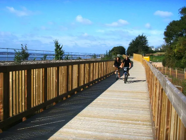
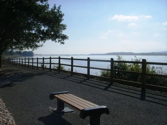
Devon
Funding of £25 million will pay for a number of major schemes including the
, a new coast-to-coast route in East Devon, the Exe Estuary Trail, the Teign Estuary and the
.
The latest section of the Exe Estuary Trail in Devon will open in spring 2010
North of England
The Way of the Roses Cycle Route – a new coast-to-coast route being developed by Sustrans which will link Morecambe with Hull and Bridlington – is due to open in 2010.
for the Olympics?
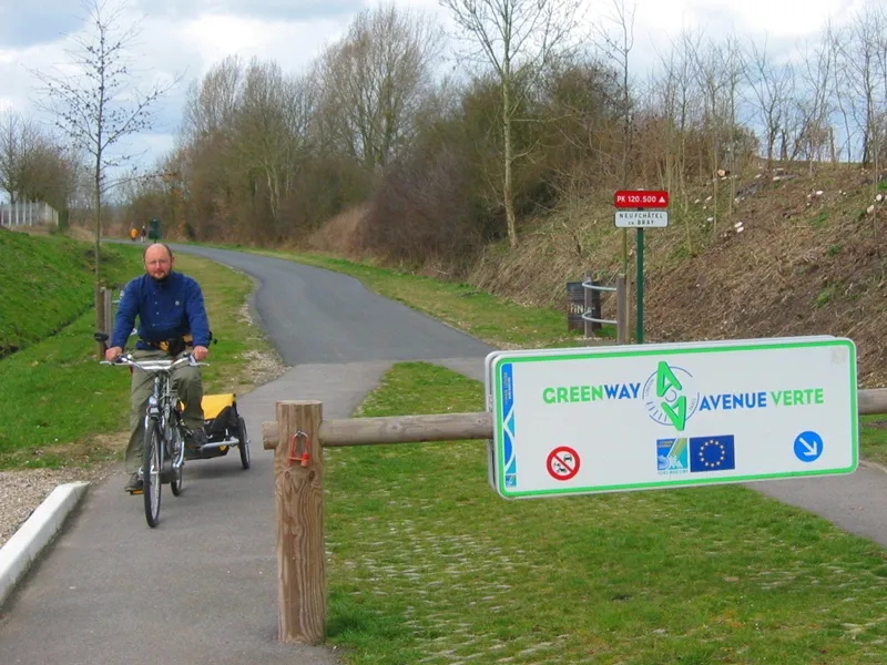
French and British local authorities are planning to open a London-Paris cycle route in time for the 2012 London Olympic Games. It would link the Tower of London and the Eiffel Tower.
The Green Avenue (Avenue Verte) is expected to extend over 218 miles, using a number of existing cycling routes in South England and the Normandy/Pas de Calais area.
However, East Sussex County Council warned that money might not be readily available for the project due to the current financial climate.
Sections of the Avenue Verte which should link Paris and London are already open
New publications
Dartmoor and surrounding area for cyclists (Harvey 2009, ISBN 9781851374540, £12.95)
A touring map on one side at 1:60,000 and a mountain biking map on the other at 1:40,000. Superb detail. Touring map shows all promoted routes in the area including NCN routes and advisory routes on minor roads and tracks. Mountain bike map shows all paths and tracks where cyclists can go in the National Park. Indispensable!
Cycling Britain (Lonely Planet 2009, ISBN 9781741040425, £15.99)
Great for cycling holidays for UK residents or visitors from abroad. Twenty-nine rides chosen for their scenic, historic or other interest, varying from one to 20 days, and linking to each other. Stacks of info including cue sheets for directions (cycle computer needed) which can be copied. Includes maps and profiles, but we'd recommend you buy a more detailed map. Includes popular routes such as the C2C and less well known rides such as the Welsh Marches to Lancaster.
Derbyshire and the Peak District mountain bike guide (Third edition, The Ernest Press 2009, ISBN 9780948153891, £12)
Very clear, easy to use full-colour pocket-size book containing 29 circular mountain bike rides from six to 38 miles long. Good, clear little maps (Ordnance Survey map also needed) accompanied by route directions plus basic background info. Good photos and uncluttered, straight-to-the-point presentation.
Cycling in the UK (AA Publishing 2009, ISBN 9780749562793, £20)
Large hardback collaboration between the AA and Sustrans. Offers 53 routes on the National Cycle Network by region with an excellent map and supporting information. Some nice themed sections too, such as birdwatching routes, industrial heritage routes, artworks and the best coastal routes. Solid with wonderful photographs.
All of the above are available from Cordee.
Forth & Clyde map (Sustrans, ISBN 978-1-901389-78-4, £6.99)
Shows the huge expansion of routes in the area on 1:100,000 mapping. Includes a coast-to-coast Scottish route from Tarbert to Edinburgh that uses the Forth & Clyde canal. Also includes the line of the new Airdrie to Bathgate route. Excellent quality mapping on waterproof paper.
Traffic-free in Scotland (Free map booklets)
Free, high quality mapping is unusual but these four booklets are full of it. They cover: Glasgow & Ayrshire; Edinburgh, Fife, Central and the Borders; Firth of Tay to Moray; and CentralHighlands, Argyll and the Trossachs The guides pick out outstanding and often traffic-free sections of the National Cycle Network but also include some connecting routes.
Both of the above available from www.sustrans.org.uk or 0845 113 0065.