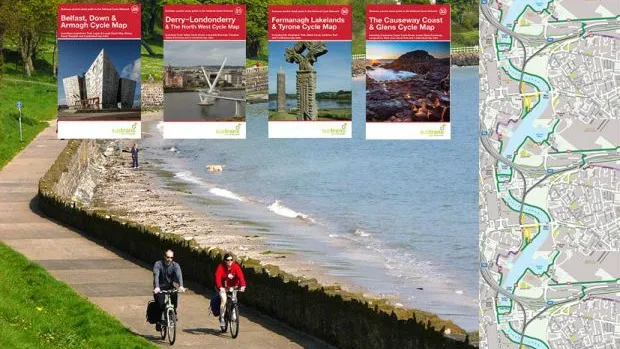
With 14,000 miles of National Cycle Network across the UK, sustainable transport advocates Sustrans had a big job mapping the whole lot on paper. It's now finished its 56-volume Pocket Guides covering the whole country, issuing four maps for Northern Ireland earlier this week.
- How to have a great day out cycling with the family
- How to teach a child to cycle in 30 minutes
- 30 great benefits of cycling
The maps also include major routes such as the London Cycle Superhighways, as well as more than 100 recommended day rides and inset maps of towns and city centres. Another feature that BikeRadar appreciates (especially on multi-day tours) is the inclusion of route profiles.
Martyn Brunt, head of mapping at Sustrans, told us that the hardest thing about the map series was getting them all to fit together like a giant jigsaw, so that there weren’t any sections of the UK that weren’t mapped, or any gaps between maps with nothing on. The team also had to check that the important details were still correct, like whether there really is a bike shop on a particular high street.
The last maps issued in the series were:
- Belfast, Down and Armagh Pocket Cycle Map
- The Fermanagh Lakelands & Tyrone Pocket Cycle Map
- Derry Londonderry & The North West Pocket Cycle Map
- The Causeway Coast & The Glens Pocket Cycle Map
You can buy the latest ones here.
The move towards downloadable routes
Incredibly, the only similar series of maps covering bike routes in the UK came out in the 1950s, long before Sustrans started building the National Cycle Network, which began with the Bristol-Bath Railway Path.
Sustrans says that it’s sold more than 85,000 maps so far, with several reprinted after selling out. Cornwall is the most popular map, having been reprinted three times, with other top-sellers including the Dorset Downs, Kent, Hampshire and the Peak District.
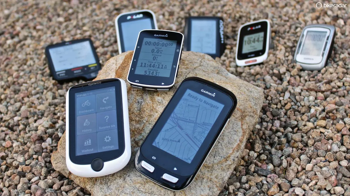
Brunt says that the charity is moving towards offering the routes as files that you can download to a bike computer, like a GPX file or similar. “We are very keen on moving in this direction and are actively seeking ways in which we can do it.”
New Challenge maps
So what’s next for the Sustrans mapping team? “We are now working on a series of ‘Challenge’ maps for many of the long-distance bike routes you can find on the National Cycle Network,” says Brunt. “A couple of these already exist, like the Sea-to-Sea (or C2C as it is better known), and Way of the Roses (Morecambe to Bridlington). However, we are updating and revamping them and then extending them to create a whole series.”
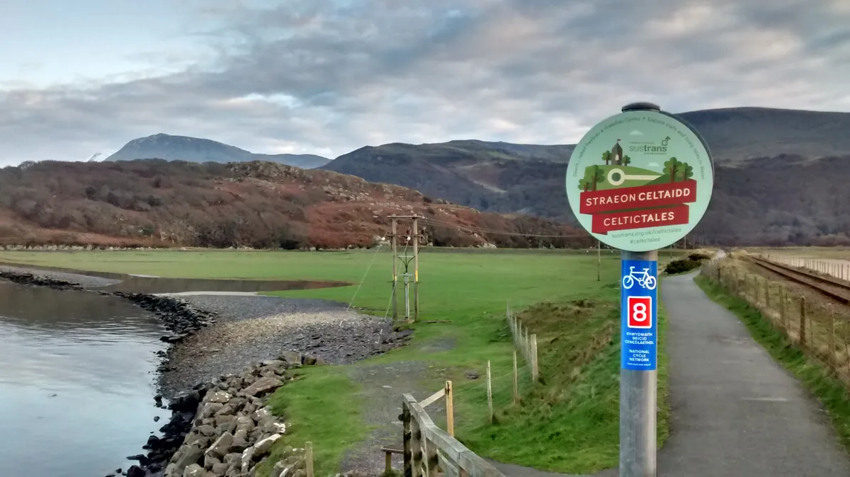
The first will be a new updated version of the Way of the Roses Map, followed by maps for Hadrian’s Cycleway, the Celtic Trail in Wales, the South Coast Way (Dover to Dawlish), Great Western Way (Bristol to London), Bath to Bournemouth, The Shakespeare Way, and others. Sustrans is also putting the final touches to a new Land’s End to John O’Groats guidebook that will be available before Christmas, and which will follow a 1,170 mile route on the National Cycle Network across the length of the country.