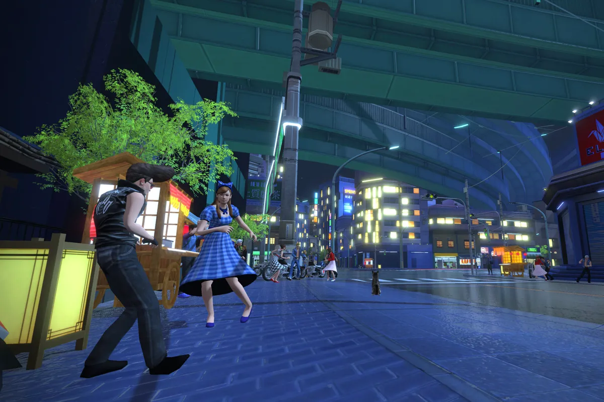
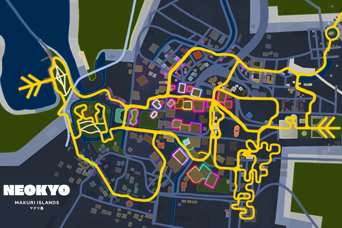
Zwift has launched Neokyo, a cityscape map inspired by bustling Japanese cities such as Tokyo. According to Zwift, Neokyo’s eight routes almost double the number of rideable roads in the Makuri Islands virtual world, which was released in May 2021.
The terrain looks flatter and faster than the rural roads of the Yumezi map (the other Makuri Islands virtual world). Rice fields connect the two maps in the indoor cycling app.
The sun never rises in nocturnal Neokyo, the neon-lit buildings juxtaposing the bright daylight of Yumezi.

Zwift promises the new roads will pass skyscrapers, nighttime revellers and arcade halls. The terrain appears to suit turbo powerhouses.
Zwift Neokyo route details

The Neokyo map features eight new routes, across 128.1km of new roads.
- Railways and Rooftops (6.1km / 68.9m elevation) – A flat route on top of the city.
- Rooftop Rendezvous (3.7km / 56.3m elevation) – A punchy route that ascends monorails.
- Neon Flats (14.7 km / 71.7m elevation) – A fast blast with three sprints.
- Sprinter’s Playground (12.3km / 67.4m elevation) – A medium-length loop that includes four sprints.
- Neokyo All-Nighter (24.3km / 167.3m elevation) – A long route containing four sprints and a KOM/QOM.
- Sleepless City (9.5km / 42.3m elevation) – A shorter, speedy course through the metropolis.
- Wandering Flats (25km / 145.6m elevation) – A long, flat route that traverses the countryside.
- Temples and Towers (32.5km / 318m elevation) – A longer route that takes in three KOM/QOMs on climbs to rooftops and temples.
