Strava has updated its mapping tool, adding new functionality and providing a more consistent experience across platforms. As part of that, the personal heatmaps in the route planning tool now offer a 3D view of your preferred routes.
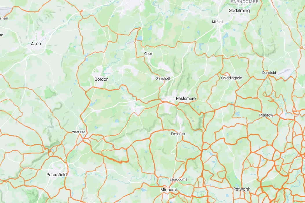
Personal heatmaps show the roads you follow most often and can be used as part of your route planning, with Strava following your preferred roads when you plan a route (there’s also the option to follow the global heatmap for all riders).
Your personal heatmap previously showed up as a 2D trace of orange lines on a 2D map, but now you can see it in all its hill climbing glory on a 3D map.
Take a screenshot and you’ve got the tools to brag to your mates about your climbing exploits (unless you, of course, live somewhere pancake flat).

The 3D heatmap will only be available via the Strava web app for the moment, not on the mobile app, which isn’t so useful for showing off at the coffee stop. The launch coincides with World Earth Day.
It's one of a series of updates to the personal heatmap functionality, following on from the option to narrow it down by time period, which launched in January 2021.
As with the rest of Strava route planning and other enhanced Strava functionality, the new features are subscriber-only, with a subscription costing £6.99/$7.99 a month.
New satellite imagery

Strava has made other mods to its route mapping too.
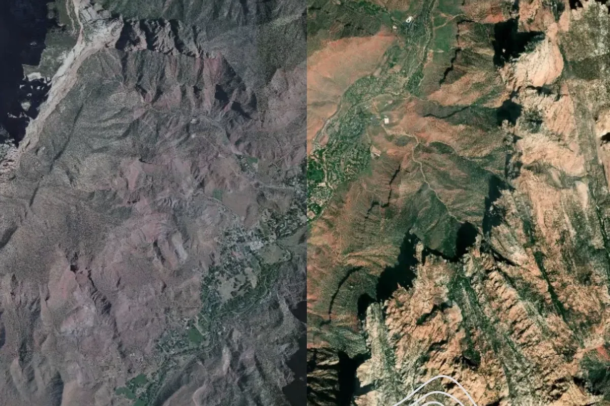
First up, it’s refreshed its satellite imagery to bring it up to date. With all images no more than two years old, you’re unlikely to find that your ride up that quiet country lane has turned into a trip across a new housing estate or that it now runs alongside the HS2 linear construction site.
There’s more consistency across zoom levels too and the update is available on mobile platforms as well as the web and via your activities view as well as routes.
There are also changes to the maps displayed when you record a ride. Whereas before rides recorded on Android devices used Google Maps and those on iOS used Apple Maps, both now use maps from MapBox, so your map will look the same regardless of the platform you're using.
